


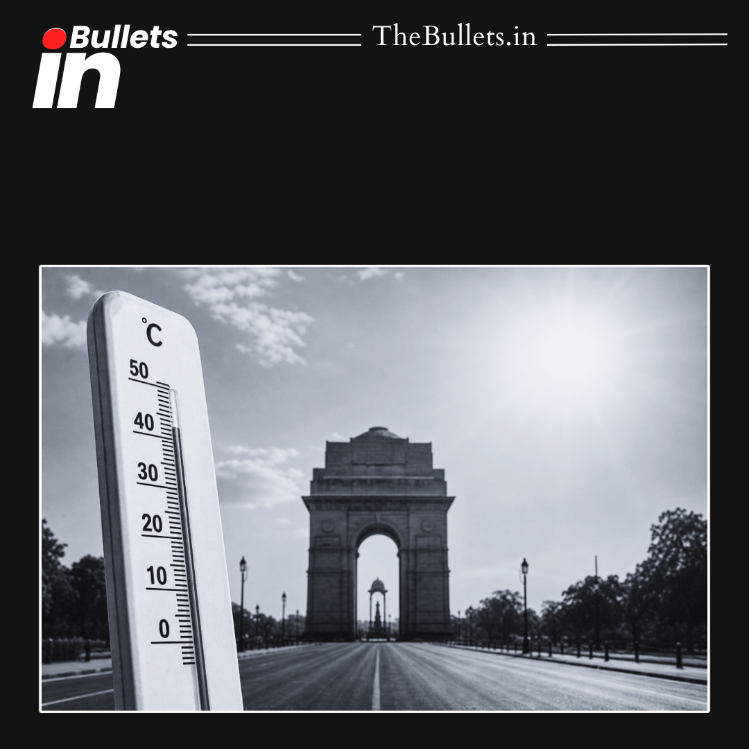


A satellite-based analysis of Delhi shows that heat exposure is not uniform across the city, with densely populated and less affluent neighbourhoods experiencing significantly higher temperatures than greener and better-planned areas.
BulletsIn
- Satellite analysis showed temperature differences of up to 7°C between different Delhi neighbourhoods.
- Dense and lower-income areas recorded much higher land surface temperatures than greener localities.
- Sarita Vihar recorded around 39°C while nearby Shaheen Bagh and Madanpur touched nearly 46°C.
- NASA and satellite data revealed that Delhi’s summer heat is divided into multiple “heat pockets.”
- Areas with more trees, open spaces and wider roads remained relatively cooler.
- Concrete-heavy and densely built settlements retained heat for longer durations.
- Vasant Kunj recorded lower temperatures compared to nearby Mahipalpur.
- Greater Kailash appeared cooler than several outer Delhi regions on thermal maps.
- Hotspots like Bawana, Mubarakpur and Najafgarh recorded extremely high surface temperatures.
- Green areas near Yamuna floodplains and South Delhi showed noticeably lower temperatures.
- Study used NASA/USGS Landsat 8 and 9 satellite imagery along with Sentinel-2 mapping.
- Research highlighted how urban planning and green cover directly affect heat exposure.
- Findings underline growing risks of urban heat islands and climate inequality in cities.


What do you think?
It is nice to know your opinion. Leave a comment.