


The geographical boundaries of India have evolved through centuries, shaped by various dynasties, foreign invasions, and colonial rule. From ancient texts and cartographic records to British-imposed maps, India’s map reflects its dynamic history. This journey from a diverse cultural subcontinent to a modern nation is also marked by significant territorial changes, especially post-independence.
BulletsIn
- India’s map has evolved over 2000 years, shaped by various empires and external influences.
- Early Indian maps are not available, but boundaries can be inferred through edicts and texts.
- The Mauryan Empire, under Chandragupta and Ashoka, unified much of the subcontinent.
- Gupta Empire’s geographical records show India’s prominence around 400 CE.
- Greek cartographers like Hecataeus and Eratosthenes were among the first to document India.
- Islamic scholars like Al-Biruni contributed to India’s geographical knowledge during the medieval era.
- The Mughal Empire advanced mapping, with innovations in celestial globes and detailed charts.
- The British redrew India’s map during colonial rule, reshaping territories and administrative boundaries.
- Post-independence, the country’s map changed further, with the integration of princely states and reorganization of states.
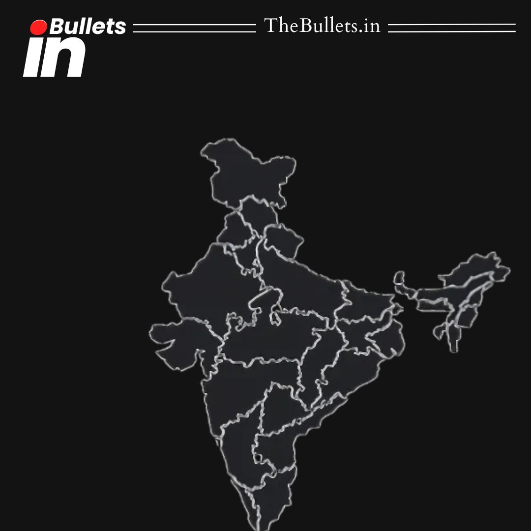
- The modern map of India reflects its diverse geography, formed over millennia of cultural and political evolution.


What do you think?
It is nice to know your opinion. Leave a comment.